Story of
Arabian Oasys Company
In the heart of the Arabian desert, where sands and barren terrains dominate, the idea of the Arabian Oasis Company was born. A group of scientists and engineers, united by their passion for the environment and its sustainability, decided to transform this desert using advanced technology and innovation.
- Innovation
- Technology
- Sustainability


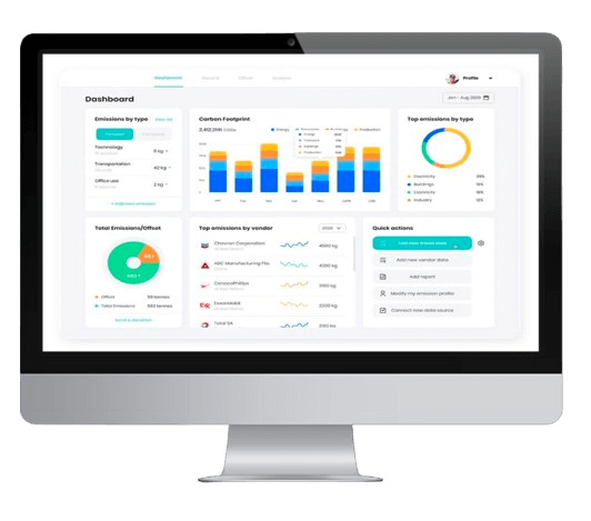
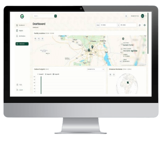
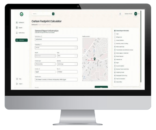
Environmental Data Analysis
More details

Aerial Surveying & Sensing
More details

Geospatial map production
More details

Geospatial Data Management
More details

Geospatial Consulting
More details

Training and Development
More detailsProjects Management Department
Arabian Oasys Strategy


- Innovation in Data Collection
- Data Analysis and Technology Application
- Studies and Designs Presentation
- Implementation and Operation
- Continuous Monitoring and Surveillance
- Achieving Vision and Mission
- The Future
Arabian Oasys VisionMission
To be the leading company in achieving environmental and financial sustainability by transforming decertified areas into thriving oases through advanced technologies, creating an integrated ecosystem that serves both the public and private sectors.

Visit us in COP16 Riyadh from 2 - 13 DEC 2024
EMISSIONS, CARBON FOOTPRINT & AIR-QUALITY Management tool
A modern emissions management tool, to measure carbon footprint & air quality comprehensively with real-time, with reduction, offset plan & Verified International Certification. Using IOT G.Calculator system & customized sensors specially manufactured according to the requirements of each project.


Industrial Workplaces:
• Factories and ManufacturingPlant,
• Warehouses and LogisticsCentres
Construction workers
Indoor Office Environments
Healthcare Facilities
Schools and Educational Institutions
Commercial Buildings
Public Transportation
Environmental Monitoring
Community and Residential Use
Research and Data Collection
WINNING STRATEGIES
Surveying and Geospatial Information Department
1. Establish and update geospatial databases.
2. Develop geographic information systems (GIS) to facilitate data access and analysis.
1. Using drones to collect high-resolution geospatial data.
2. Applying remote sensing techniques to analyze environmental changes.
1. Cooperating with government and private entities to enhance the exchange of data and information.
2. Establishing partnerships with academic institutions to develop geospatial research
and studies.


Arabian Oasis Company
Arabian Oasis Company is not just a company, but an ambitious movement towards a sustainable and prosperous future for all residents of desertified areas.

Net-Zero Specialized Program
We Help you to do Changes within your organization
By Easing the planning process of your net zero efforts.
Work efficiently and consistently with your teams
towards achieving your net zero targets.
Give credibility to your net zero activities and claims and
reduce your organization's risk of greenwashing.
Allow you to compare your progress like-for-like
globally and report on it consistently


Request a quote
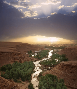
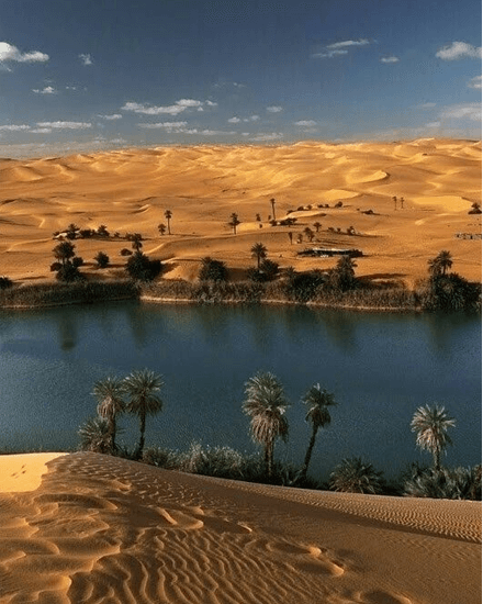
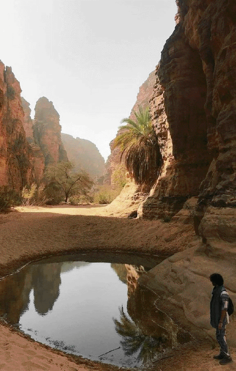
Arabian Oasys Sustainability in Every Step


