WINNING STRATEGIES
Surveying and Geospatial Information Department
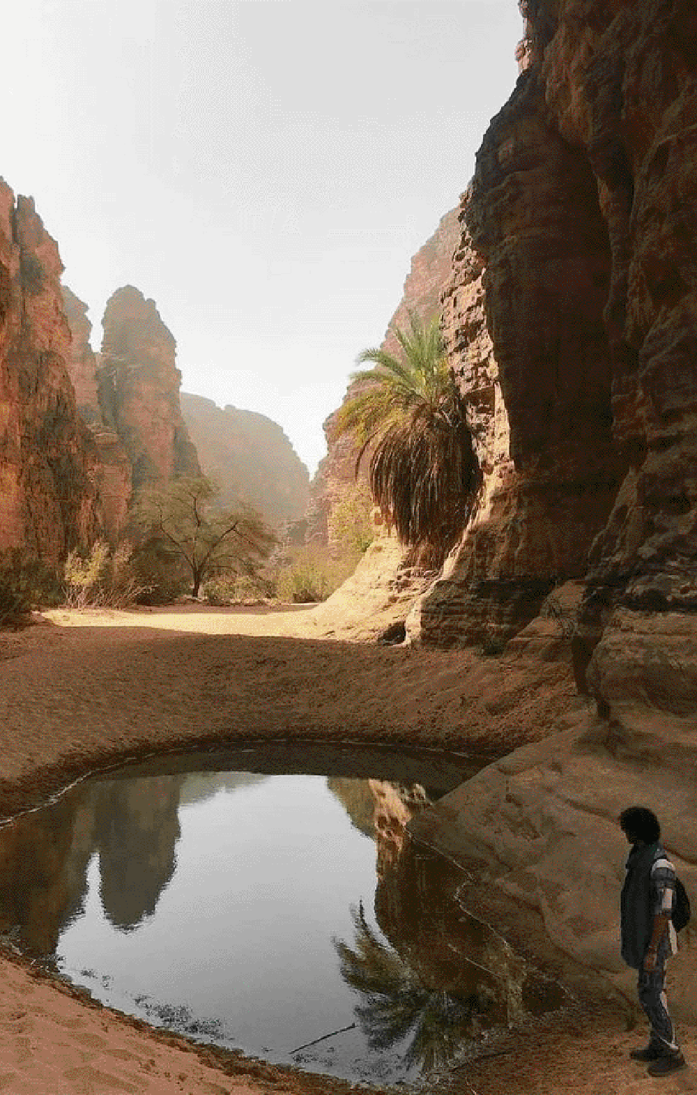
The first step was to collect geospatial data accurately and efficiently. Drones equipped with state-of-the-art cameras were used to capture high-resolution images and videos of the desertified areas. This data facilitated the creation of a detailed map illustrating water distribution, vegetation, and soil.
After gathering the data, it was analyzed using Geographic Information Systems (GIS) and artificial intelligence techniques. These analyses enabled the team to identify and evaluate water collection sites, helping in designing scientifically solid projects.
Based on the analyzed data, the Arabian Oasis Company introduced innovative studies and designs for environmental sustainability projects. These designs included modern irrigation systems, sustainable agricultural initiatives, and environmental conservation measures.
The company began executing these projects on the ground, starting with building an integrated infrastructure that included irrigation systems and solar power plants. A specialized team supervised the operation of these systems to ensure efficiency and sustainability.
One of the fundamentals of the company’s success was continuous monitoring and surveillance of air quality and emissions. The company used environmental drones to monitor environmental changes and ensure compliance with environmental standards.
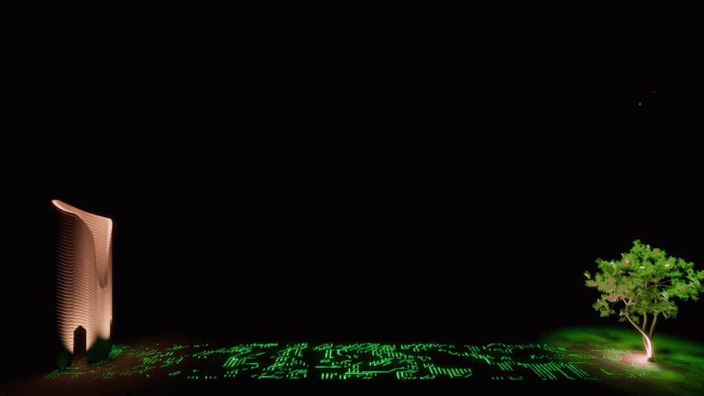
The Arabian Oasis Company was established with a vision to achieve comprehensive environmental sustainability and transform desertified areas into thriving oases through advanced technologies. Its mission is to create sustainable oases based on technology to achieve environmental and economic balance.
The Arabian Oasis Company does not stop at current achievements but constantly strives for development and innovation. The company continues to work on new projects aimed at converting more barren lands into sustainable oases, enhancing a green and sustainable future for all.
Contact us
Quick contact form